ELIOT®
Product Description
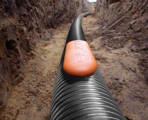
Terrendis® + ELIOT®: a smart pre-insulated piping system equipped with RFID tags which can send centimetre-accurate location information from depths of up to 1.5 m.
Terrendis® offers the unique ability to integrate ELIOT®, a proprietary RFIDbased detection, 3D-location and identification system for buried assets, into your pre-insulated piping solution.
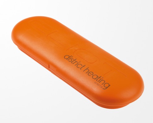
The RFID tags, encapsulated in watertight heavy duty plastic casings (markers), can be installed on critical network items such as underground insulation kits, inspection chambers, etc., or at regular intervals along the piping path.
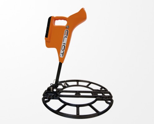
With the handheld locator, the buried tags can be located precisely and communicated with from ground level. The applied standard communication protocol is also NFC (Near Field Communication) compatible, which allows tag reading/writing before installation, using the ELIOT® android application on your smartphone.
An integrated GPS in the locator means the tag-stored data can be integrated into a GIS (Geographic Information System). For increased accuracy, the geographic coordinates can also be imported via Bluetooth® from an external differential GPS.
The ELIOT® system adds the 3 following functions:
LOCATION
- Georeferencing of tagged pipework after installation underground
- Highly accurate 3D location (3-axis: XY + depth) of the buried tags
- Detection, location and bidirectional communication from depths of up to 1.5m
- Simultaneous detection of all types of networks
- Unhindered by soil conditions (saturated clay, water tables, etc.), or nearby magnetic fields
IDENTIFICATION
- Simultaneous display of all nearby networks
- Accurate identification with unique ID number
- Read and Write information on the tag
(2 x 90 characters – password protected)
INTEGRATION
- Transfer of GPS coordinates and tag-stored information into any GIS
- Improved traceability and network control
- Advanced asset management


